I rode ~28 miles to the Mifflinville area more two weeks ago, on the 6th (!) but have been far too busy to write about it. I'll just dash off a quick post with a few pictures.
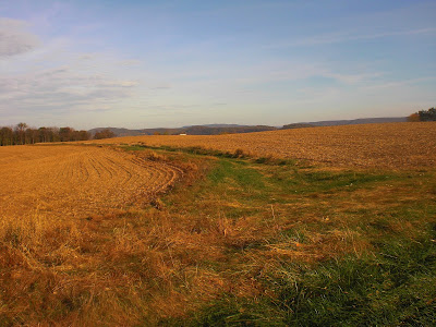
Neufer Hill Road
The Safety Lights place on Old Berwick Road
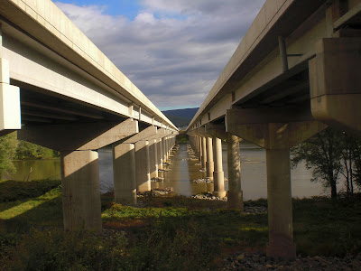
Pretty impressive that we can build these, when you stop and think about it.
Shot of the Susquehanna River
The bridge to Mifflinville
Railroad tracks
At this point, I reached Mifflinville and headed to the gravelly, rocky Andreas Road. Things began to get harder.
View from Andreas Road, right before heading into the woods.
Andreas Road, looking forward
looking back
Rough terrain
Seriously rough terrain
After reaching the top of Andreas Road, I headed over to Smith Hollow Road, unexplored territory. It went downhill through the woods for a while before reaching Pennsylvania Route 339.
Something spoke to me about this view
Smith Hollow Road, going downhill
Smith Hollow Road again
Route 339
Warning lights
After that, I went slogging uphill, first on Smith Hollow Road, and then on Bull Farm Road. Bing Maps told me that the latter was unpaved (I like how Bing Maps tells you that, but the printed directions are awful otherwise), which seemed strange since it started out paved. But soon it became gravel.
Large, leaf-covered rock formation
Yet another sofa in the middle of the woods
Smith Hollow Road
Bull Farm Road rising steeply. Ugh.
Bull Farm Road again
Rising on gravel.
At the top, there was a breathtaking view.
[view]
I then continued on pavement, wandering along some paved roads to Hetlerville. Along the way, I was chased for a while by an angry dog, but when I took off at full speed, it gave up. My camera ran out of battery on Hetlerville Road, so I don't have any pictures from the last 12 miles or so.
Nescopeck Mountain
Some road somewhere
After Hetlerville, I explored Kelchner Road, which eventually became very rough and unpaved, going through the woods. It was a pretty little road with a waterfall at the bottom, but steep. On the other side, back in civilization, a gnat flew straight into my eye. Of course, I wasn't wearing sunglasses, so I had to ride the last ten miles with a burning sensation in one eye. There was one last major descent, down Snyder School Road to Mifflinville, and after that it was flat on Old Berwick Road until I got back to Neufer Hill. A few minutes after that, I was home, as the light was beginning to get low.


