Looking southwest from the clearing
Soon after that, I got back onto pavement again and rode down into town, along First Street and then briefly on Main Street, and then briefly on Railroad Street. Town riding can be interesting at times, but it's annoying to stop at every other intersection and wait for traffic. Slows me down a lot. From Railroad Street, I crossed Fishing Creek into Fernville.
Fishing Creek. The summer colors are beginning to come back.
After Fernville, I headed north on Red Mill Road alongside Hemlock Creek. It doesn't look like a hill on Google Terrain View, but it is a long, slow climb. There seemed to be a lot of insects about; at one point a small but vicious-looking black insect landed on me and I had to stop and shake it off. I also passed by the very hilly Foxtail neighborhood, which might be worth exploring on a short ride. I eventually turned off Red Mill Road onto Frosty Valley Road, where I would spent the next five miles. The road crossed Pennsylvania Route 42 and began a fast descent to Hemlock Creek. At the bottom of the hill, the road began rising very slowly rising, with an occasional small descent. The road mostly went through peaceful farmland, but there were a few houses along the way and Interstate 80 was never far away. I saw a few dirt roads and marked one of them, Maggie Springs Lane, for further exploration sometime.
Frosty Valley Road
View from the road
Sheep. I saw a couple of horses as well, but didn't stop for a picture.
Fields, I-80, wooded hills
Frosty Valley Road looking back in Montour County
The bike in a state of repose
A few minutes further on, I passed through the village of Kaseville and got a glimpse of Kaseville Road, where one possible route to Danville would take me. It looked ominously hilly. Not long afterwards, I crossed Columbia Hill Road and continued onto Sidler Lane, a small, short road that was mostly flat until it dipped down a hill and up a short, but steep hill. After that, the road simply dead-ended into a private road. How strange. Google Maps had the road going about a third of a mile further.
Looking south towards Montour Ridge from Sidler Lane.
After I got back from my brief excursion down Sidler Lane, I headed south on Columbia Hill Road. Some minor climbing, but nothing too bad. The real hill is a few miles to the north. After a bit, I turned east onto Cherokee Road. I had expected it to be a glorified path through the woods, but it turned out to be a fairly civilized paved road. It even had two lanes. That road spit me out onto Kaseville Road, which was probably one of the three hardest climbs, and that was with me only climbing a third of the hill. Riding the entirety of Kaseville Road would be rather difficult, to say the least. After a short distance, though, I turned off Kaseville Road and onto Garman Road and followed that through the woods, up and down some rolling hills. After a while, Garman Road became Gotschal Road, the road I explored last week. After passing County Line Road, Gotschal Road began to degrade into essentially a glorified path through the woods.
Flowers (cherry blossoms?) on the side of Gotschal Road
You call this a road?!
I then began climbing up Susies Lane. It was almost as difficult as Kaseville Road, possibly even more so since my tires kept slipping on the gravel. The same beagle that ran alongside me last week came out to the road again, but didn't stay with me for long. I did not go all the way to the top of Montour Ridge this time, but instead turned onto Mowrey Drive and began descending. The descent was pretty steep and wild in places; even with the considerable restrained needed to avoid crashing, I still managed to get up to about 30 miles per hour. I was barely able to slow down in time to stop and figure out which way to go at the intersection with Brobst Drive. After the intersection, the road (now renamed Mourey Drive by Google Maps for some reason) still continued downwards, but was more mellow. For a while, there was a hedge between me and some nice scenery, but I still managed to get a half-decent shot through a break in the shrubbery. Not a minute later, though, the road went out into an open field with plenty of opportunities for scenery shots. I always feel dumb when that happens, but I hit the brakes and took a few pictures.
A somewhat overgrown vista
A less overgrown vista that I came upon a minute later. If you look closely, you can see Knob Mountain in the center. It seems to be visible from just about everywhere.
Mowrey/Mourey Drive
Yet another typical northeast Pennsylvania vista
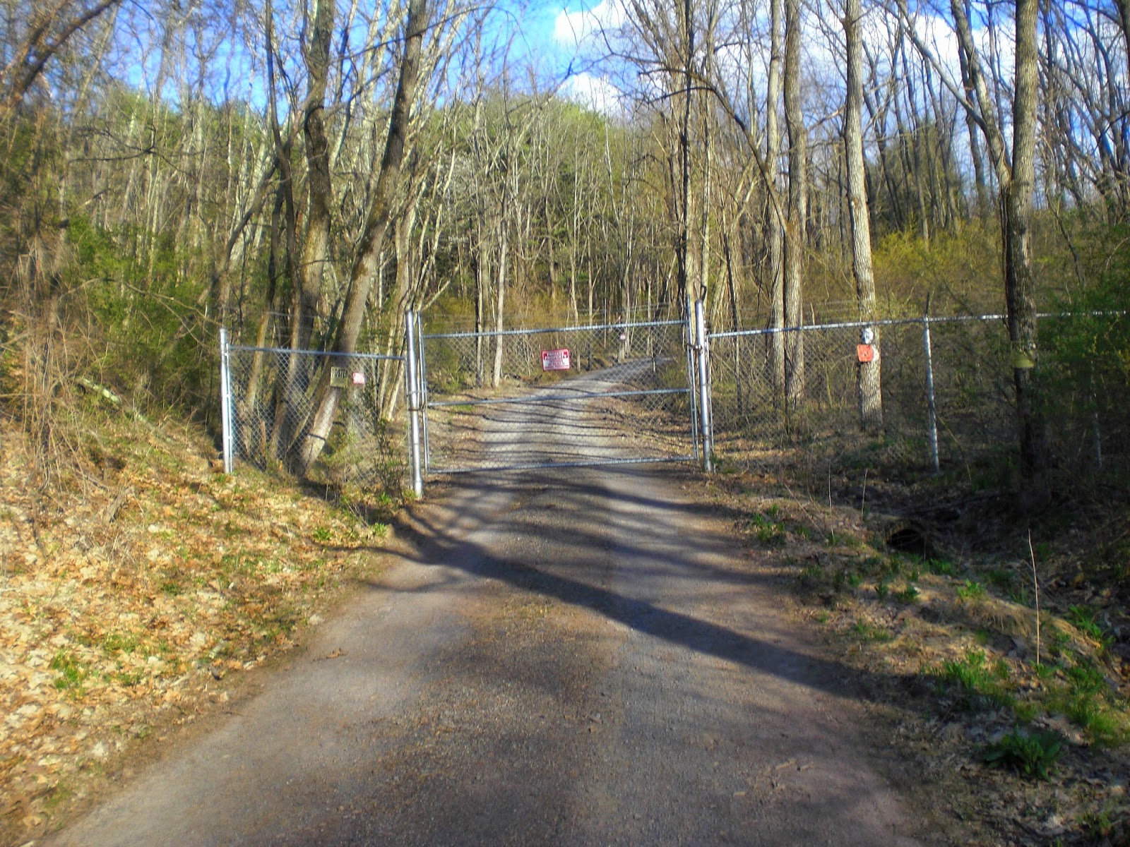
Mourey Drive then became somewhat paved and took me to Frosty Valley Road. The next few miles where fairly uneventful, but it was mostly downhill going in this direction. I made good time, even on the few uphills. My mile splits were mostly between 14 and 17 miles per hour. After a while, I came to Maggie Springs Lane and decided to explore it since half of Sidler Lane had turned out not to exist. It was just another short, gently rising unpaved road. After a few tenths of a mile, the road forked and both forks were marked with angry No Tresspassing signs. Not worth coming back to.
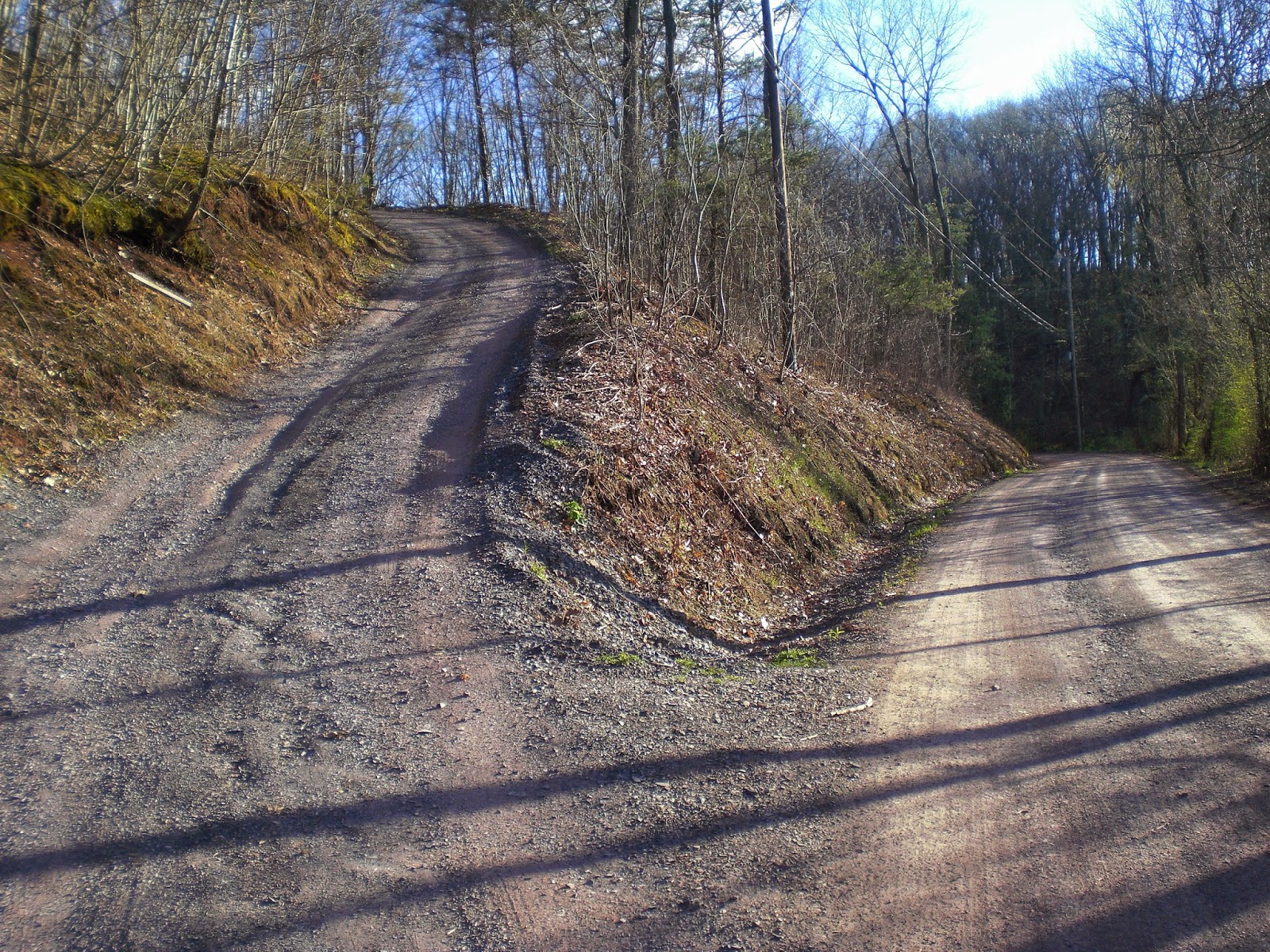
At first I thought the one on the left was Maggie Springs Lane. Luckily, it wasn't.
Very friendly and welcoming.
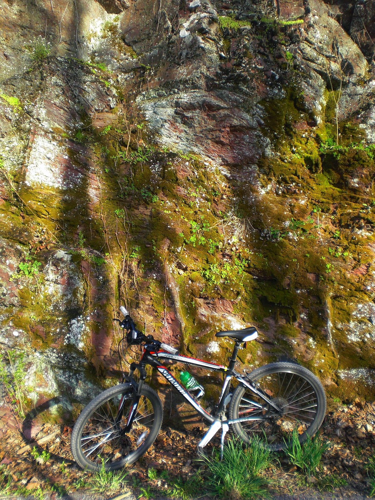
There wasn't anything to do, but return to Frosty Valley Road. I did so and after crossing Hemlock Creek, pumped up the hill to Red Mill Road. That too was downhill in this direction. I spent a lot of the ride towards Fernville looking at Hemlock Creek as it rushed over little rock ledges. Most of the very pretty stream reaches are out in the boondocks, but not this one. Soon, I came to Fernville and crossed the bridge over Fishing Creek back into Bloomsburg. I didn't want to deal with the one-way-street maze this time, so I turned onto the Bloomsburg Rail Trail with the intent to go around the main part of Bloomsburg instead of through it. The stretch that I rode on was nice, with a steep drop to Fishing Creek on the left and high reddish cliffs rising dozens of feet on the right. I hadn't ridden there since last October, when I rode straight into a fallen tree and crashed. There weren't any more warm days after that. Some way to end a riding season.
Contrasting flowers in Fernville
Bloomsburg Rail Trail
The bike next at the base of the cliff
The stretch of the rail trail ended at Irondale Road. I rode up that and then crossed Iron Street to Summit Road, which is one of the few roads that is more innocent than it sounds. It took me to Arbutus Park Road, one of several major routes up Turkey Hill and the only one that tackles it from the west. On one hand, it doesn't go all the way up the hill and it's not a full-frontal assault like Country Club Drive. On the other hand, the road is not in the best condition. The pavement began to get iffy as Arbutus Park Road headed out of civilization. Eventually, I passed a gate in the road and it began to get very iffy. At least the climb wasn't steep and wasn't too long.
Clearing at the top of the hill
Some student housing next to Arbutus Park "Road".
Soon after the top of the hill, I passed another gate and Arbutus Park Road became a road again. I sped towards home, with only one short and gentle hill to slow me down. I ended up having a fairly fast finish. My total time was 1:53:10 and my pace was 4:28/mile (about 13.4 miles per hour). I didn't reach quite the same speeds that I usually reach; my fastest mile was 3:00. On the other hand, not many miles were terribly slow.
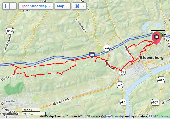
Vertical rise: 1811 feet. Elevation change: 3620 feet. Highest point: 1091 feet. Lowest point: 473 feet.


No comments:
Post a Comment